Maps vs. the ground truth in Phoenix, AZ: ready for autonomous driving? See Report

Amazon Web Services

Nexar and AWS:
Boost Your Insights

AWS powers Nexar’s AI compute stack, so you can make better geo-spatial decisions using Nexar images, data and AI detections

Contact us
Nexar’s integration with Amazon web services allows making better geo-spatial decisions
Nexar’s integration with Amazon web services allows users to Seamlessly deploy images, videos and AI detections

Deploy Nexar seamlessly using AWS

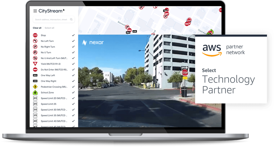
Seamlessly deploy images, videos and AI detections using AWS. Nexar captures images, and detects objects and change on a daily basis across all the US. Data is available via API, SaaS and ArcGIS on AWS.

  • Imagery: make use of fresh, street-level imagery captured by Nexar’s crowd-sourced vision, based on dash cams
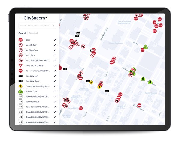
  • Road inventory: benefit from automated AI based detections of road inventory, refreshed often using AWS compute, and get notified of any changes
  • Collision insights: using Nexar, insurance companies can get valuable insight on collisions,notified of loss, and even reconstruct images using AI
Cornell University
Nexar broadens the scale of data capture beyond where we could collect data ourselves and enables analysis of neighbourhoods not covered by traffic cameras
RTC
The first step is knowing in real time where cones are and how they are affecting traffic. Then, we can look at what actions can be taken to improve traffic flows, whether its enforcement of permits, more public information, changes to traffic signal timing, or incorporating new traffic control and safety measures, all with the goal of improving commutes