Maps vs. the ground truth in Phoenix, AZ: ready for autonomous driving? See Report
Nexar’s CityStream for remotely monitoring road work zones

Detect, Map and Monitor Road Work Zones

Detect, Map and Monitor Road Work Zones

Get the ground truth on road work zones through our crowd-sourced vision network. Wzdx compliant.

Nexar’s CityStream for remotely monitoring road work zones

What is Road Work Zones?

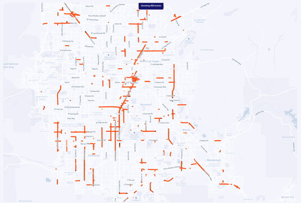
Save precious resources on tracking construction and road blockages or encroachment. Get fresh, ground-level images of construction zones. Nexar aggregates, localizes and maps constantly-updated images. Remotely detect the appearance and removal of construction zones, lane blockages, and other work zone elements.

Nexar’s CityStream allows users to  detect, monitor and map road work zones

Improve Work
Zone Safety

Keep your roads, drivers and pedestrians safe by constantly monitoring the state of all work zones from your computer, as well as gain context-based insights based on this data. Work zone detection involves locating a variety of elements such as barricades, drums, traffic shaping cones, as well as providing alerts ahead of these road works.
Nexar’s CityStream for optimizing work zone’s safety

Detect & Enforce Permit Compliance

Make sure construction zones are operating according to permits. Know when and where work is happening and enforce compliance remotely, and, using visual evidence, determine which party is responsible for a permit violation.
Nexar’s CityStream allows users to  check work zones’ status to answer public complaints

WZDX Ready

Improve your WZDx readiness and compliance with Nexar’s construction zones updates.

By getting access to fresh, up-to-date work zone imagery you can improve safety knowing the latest lane closures and construction zones updates.

Nexar provides updated data for enhancing navigation apps

Fresh Mapping Data

Work zones are frequently not reported to mapping services. To make sure your map is up to date with the latest lane closures, you can use Nexar CityStream Road Work Zones to get fresh data via an API.
Nexar provides fresh mapping data for mapping, rideshare and logistics companies